
Herbertusbossen topographic map
Interactive map
Click on the map to display elevation.
About this map
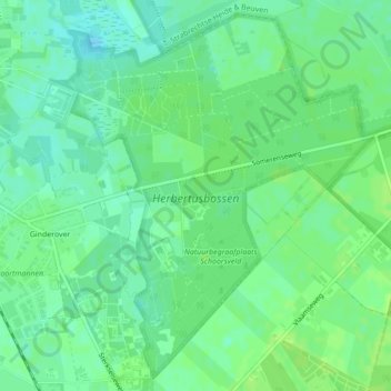
Name: Herbertusbossen topographic map, elevation, terrain.
Average elevation: 79 ft
Minimum elevation: 59 ft
Maximum elevation: 92 ft
Other topographic maps
Click on a map to view its topography, its elevation and its terrain.
Sterksel
Nederland > Noord-Brabant > Sterksel
Sterksel, Heeze-Leende, Noord-Brabant, Nederland
Average elevation: 85 ft