

Lakes topographic map
Click on the map to display elevation.
About this map
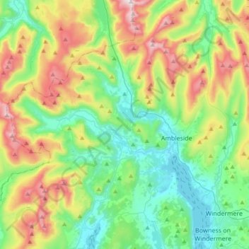
Name: Lakes topographic map, elevation, terrain.
Average elevation: 1,070 ft
Minimum elevation: 121 ft
Maximum elevation: 3,087 ft
Other topographic maps
Click on a map to view its topography, its elevation and its terrain.

Great Langdale
United Kingdom > England > Westmorland and Furness > Elterwater
Pike of Stickle, also known as Pike o’ Stickle, reaches a height of 709 metres (2,326 ft). The rearward slopes show evidence of the Pavey Ark Member, pebbly sandstone and breccia. The Langdale face displays several strata: from the top the Lingmell Formation, Crinkle Member and Bad Step Tuff. These are…
Average elevation: 981 ft