
格咱乡 topographic map
Interactive map
Click on the map to display elevation.
About this map
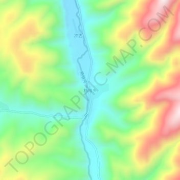
Name: 格咱乡 topographic map, elevation, terrain.
Location: 格咱乡, 香格里拉市, 迪庆藏族自治州, 云南省, 中国 (28.03347 99.75568 28.07347 99.79568)
Average elevation: 10,951 ft
Minimum elevation: 10,118 ft
Maximum elevation: 12,283 ft