
Cow Green Reservoir topographic map
Interactive map
Click on the map to display elevation.
About this map
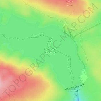
Name: Cow Green Reservoir topographic map, elevation, terrain.
Average elevation: 1,690 ft
Minimum elevation: 1,444 ft
Maximum elevation: 1,982 ft