
Vornholz topographic map
Interactive map
Click on the map to display elevation.
About this map
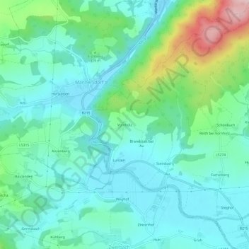
Name: Vornholz topographic map, elevation, terrain.
Location: Vornholz, Bezirk Melk, Niederösterreich, 3393, Österreich (48.14178 15.22977 48.18178 15.26977)
Average elevation: 948 ft
Minimum elevation: 728 ft
Maximum elevation: 1,690 ft