Geolocate

Mill Run topographic map

Click on the map to display elevation.

About this map
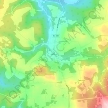
Name: Mill Run topographic map, elevation, terrain.

Location: Mill Run, Springfield Township, Fayette County, Pennsylvania, 15464, United States (39.93119 -79.47448 39.97119 -79.43448)

Average elevation: 1,581 ft

Minimum elevation: 1,250 ft

Maximum elevation: 2,070 ft

Fayette County trails, hiking, mountain biking, running and outdoor activities

Gear up for your next adventure:

🎒Outdoor Daypacks - Lightweight backpacks designed for carrying maps and essential gear
🧥Waterproof Jacket for Hiking - Breathable and rugged rain jacket for outdoor excursions
🌡️Handheld Weather Meters - Measure wind, temp, and pressure for safe mountain travel
😴Insulated Sleeping Pads - Compact and warm pads for high-elevation camping
🔋Rechargeable Batteries - Power up your outdoor devices

As an Amazon Associate, this site earns from qualifying purchases at no extra cost to you.