
Halltal topographic map
Interactive map
Click on the map to display elevation.
About this map
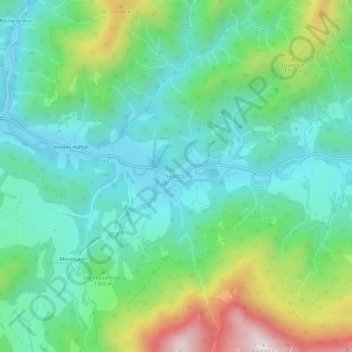
Name: Halltal topographic map, elevation, terrain.
Average elevation: 3,225 ft
Minimum elevation: 2,569 ft
Maximum elevation: 4,928 ft
Other topographic maps
Click on a map to view its topography, its elevation and its terrain.
Sankt Sebastian
Österreich > Steiermark > Bezirk Bruck-Mürzzuschlag > Mariazell
Sankt Sebastian, Mariazell, Bezirk Bruck-Mürzzuschlag, Steiermark, 8630, Österreich
Average elevation: 3,038 ft