
码头镇 topographic map
Interactive map
Click on the map to display elevation.
About this map
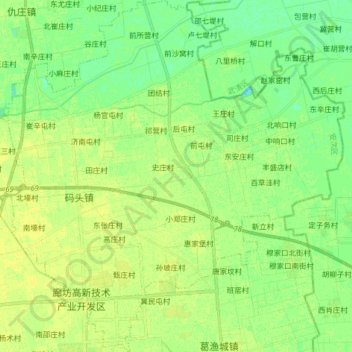
Name: 码头镇 topographic map, elevation, terrain.
Location: 码头镇, 安次区, 廊坊市, 河北省, 中国 (39.24826 116.72749 39.37338 116.88463)
Average elevation: 46 ft
Minimum elevation: 16 ft
Maximum elevation: 62 ft