
Woodend North topographic map
Interactive map
Click on the map to display elevation.
About this map
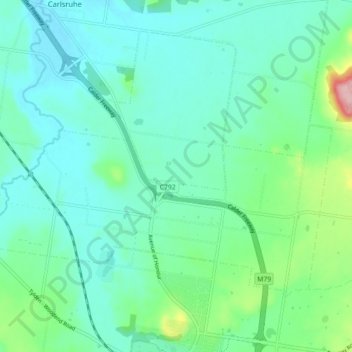
Name: Woodend North topographic map, elevation, terrain.
Average elevation: 1,824 ft
Minimum elevation: 1,709 ft
Maximum elevation: 2,283 ft
Other topographic maps
Click on a map to view its topography, its elevation and its terrain.
Macedon Regional Park
Australia > Victoria > Woodend
Macedon Regional Park, Mount Macedon, Woodend, Shire of Macedon Ranges, Victoria, 3442, Australia
Average elevation: 2,110 ft