
Versailles topographic map
Click on the map to display elevation.
About this map
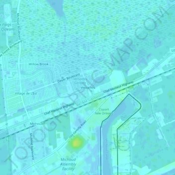
Name: Versailles topographic map, elevation, terrain.
Average elevation: 7 ft
Minimum elevation: -23 ft
Maximum elevation: 43 ft
Orleans Parish trails, hiking, mountain biking, running and outdoor activities
Other topographic maps
Click on a map to view its topography, its elevation and its terrain.
Audubon Park
United States > Louisiana > Orleans Parish > New Orleans > Greenville
Average elevation: 13 ft