
Estación Sayula topographic map
Interactive map
Click on the map to display elevation.
About this map
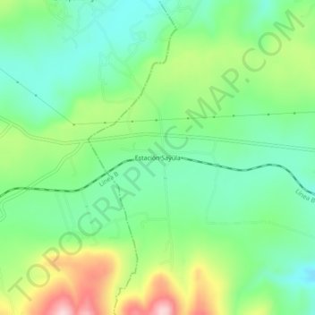
Name: Estación Sayula topographic map, elevation, terrain.
Location: Estación Sayula, Tepetitlán, Hidalgo, México (20.19858 -99.46475 20.23858 -99.42475)
Average elevation: 7,388 ft
Minimum elevation: 7,100 ft
Maximum elevation: 7,949 ft
Other topographic maps
Click on a map to view its topography, its elevation and its terrain.