
Aguas Coloradas topographic map
Interactive map
Click on the map to display elevation.
About this map
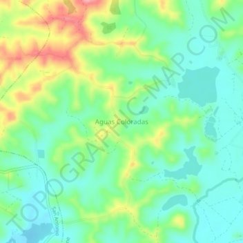
Name: Aguas Coloradas topographic map, elevation, terrain.
Location: Aguas Coloradas, Chone, Manabí, Ecuador (-0.67019 -80.13757 -0.63019 -80.09757)
Average elevation: 141 ft
Minimum elevation: 16 ft
Maximum elevation: 394 ft