
Daissa Manga topographic map
Interactive map
Click on the map to display elevation.
About this map
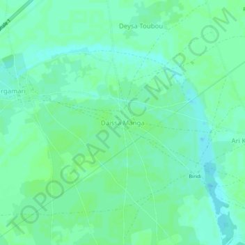
Name: Daissa Manga topographic map, elevation, terrain.
Location: Daissa Manga, Diffa, Diffa Region, Niger (13.20276 12.45040 13.24276 12.49040)
Average elevation: 1,017 ft
Minimum elevation: 1,001 ft
Maximum elevation: 1,024 ft
Other topographic maps
Click on a map to view its topography, its elevation and its terrain.