
Jamkaran topographic map
Interactive map
Click on the map to display elevation.
About this map
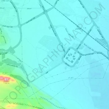
Name: Jamkaran topographic map, elevation, terrain.
Average elevation: 3,051 ft
Minimum elevation: 2,949 ft
Maximum elevation: 3,855 ft
Other topographic maps
Click on a map to view its topography, its elevation and its terrain.
Pardisan
Iran > Qom Province > Qom County > Qom
Pardisan, District 8, Qom, Qom Central District, Qom County, Qom Province, 37491-13357, Iran
Average elevation: 3,402 ft