
Willendorf in der Wachau topographic map
Interactive map
Click on the map to display elevation.
About this map
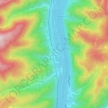
Name: Willendorf in der Wachau topographic map, elevation, terrain.
Average elevation: 1,362 ft
Minimum elevation: 640 ft
Maximum elevation: 2,425 ft
Other topographic maps
Click on a map to view its topography, its elevation and its terrain.
Aggsbach Markt
Österreich > Niederösterreich > Bezirk Krems > Aggsbach
Aggsbach Markt, Aggsbach, Bezirk Krems, Niederösterreich, 3641, Österreich
Average elevation: 1,175 ft