
天围 topographic map
Interactive map
Click on the map to display elevation.
About this map
Name: 天围 topographic map, elevation, terrain.
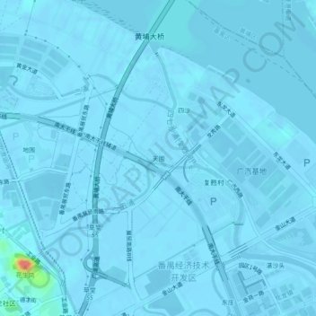
Location: 天围, 化龙镇, 番禺区, 广州市, 广东省, 511434, 中国 (23.03006 113.45291 23.07006 113.49291)
Average elevation: 3 ft
Minimum elevation: -16 ft
Maximum elevation: 230 ft