
Río Balsas topographic map
Interactive map
Click on the map to display elevation.
About this map
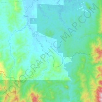
Name: Río Balsas topographic map, elevation, terrain.
Location: Río Balsas, Distrito Chepigana, Darién, Panamá (7.76392 -77.93317 7.99604 -77.82718)
Average elevation: 610 ft
Minimum elevation: 7 ft
Maximum elevation: 3,638 ft
Other topographic maps
Click on a map to view its topography, its elevation and its terrain.
Garachiné
Panamá > Darién > Distrito Chepigana
Garachiné, Distrito Chepigana, Darién, Panamá
Average elevation: 390 ft