
Kanasín topographic map
Interactive map
Click on the map to display elevation.
About this map
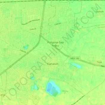
Name: Kanasín topographic map, elevation, terrain.
Location: Kanasín, Yucatán, 97370, México (20.90464 -89.59536 20.98207 -89.53444)
Average elevation: 36 ft
Minimum elevation: 3 ft
Maximum elevation: 46 ft