
Baaigem topographic map
Interactive map
Click on the map to display elevation.
About this map
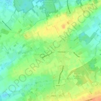
Name: Baaigem topographic map, elevation, terrain.
Location: Baaigem, Gavere, Gent, Oost-Vlaanderen, Vlaanderen, België (50.92267 3.70356 50.94145 3.74945)
Average elevation: 131 ft
Minimum elevation: 75 ft
Maximum elevation: 203 ft