
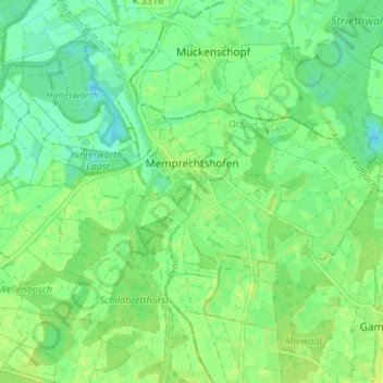
Memprechtshofen topographic map
Interactive map
Click on the map to display elevation.
About this map
Name: Memprechtshofen topographic map, elevation, terrain.
Average elevation: 427 ft
Minimum elevation: 400 ft
Maximum elevation: 443 ft
Other topographic maps
Click on a map to view its topography, its elevation and its terrain.
Mittelgrund Helmlingen
Deutschland > Baden-Württemberg > Ortenaukreis > Rheinau > Helmlingen
Mittelgrund Helmlingen, Renchdamm, Helmlingen, Rheinau, Ortenaukreis, Baden-Württemberg, 77866, Deutschland
Average elevation: 410 ft