
Chehaima topographic map
Interactive map
Click on the map to display elevation.
About this map
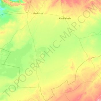
Name: Chehaima topographic map, elevation, terrain.
Location: Chehaima, daïra Aïn Deheb, Tiaret, Algérie (34.07332 1.16317 35.01611 1.57578)
Average elevation: 3,553 ft
Minimum elevation: 2,818 ft
Maximum elevation: 5,413 ft
Other topographic maps
Click on a map to view its topography, its elevation and its terrain.
Aïn Deheb
Algérie > Tiaret > daïra Aïn Deheb
Aïn Deheb, daïra Aïn Deheb, Tiaret, Algérie
Average elevation: 3,560 ft