
Jerécuaro topographic map
Interactive map
Click on the map to display elevation.
About this map
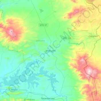
Name: Jerécuaro topographic map, elevation, terrain.
Location: Jerécuaro, Guanajuato, Mexico (19.99300 -100.66913 20.31300 -100.34913)
Average elevation: 7,195 ft
Minimum elevation: 6,086 ft
Maximum elevation: 10,377 ft