
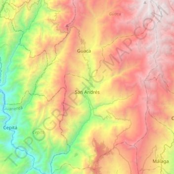
San Andrés topographic map
Interactive map
Click on the map to display elevation.
About this map
Name: San Andrés topographic map, elevation, terrain.
Location: San Andrés, García Rovira, Santander, Colombie (6.67900 -72.90979 6.95689 -72.73127)
Average elevation: 8,238 ft
Minimum elevation: 2,093 ft
Maximum elevation: 14,042 ft