
Montargis topographic map
Interactive map
Click on the map to display elevation.
About this map
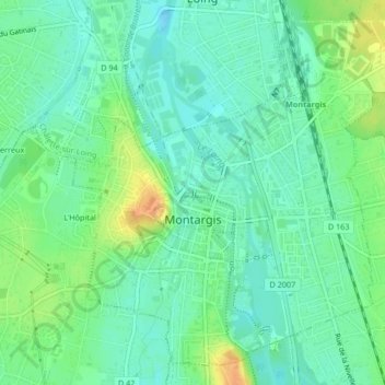
Name: Montargis topographic map, elevation, terrain.
Location: Montargis, Loiret, Centro, Francia metropolitana, 45200, Francia (47.98718 2.71798 48.01228 2.75966)
Average elevation: 302 ft
Minimum elevation: 262 ft
Maximum elevation: 374 ft