
Ernst topographic map
Interactive map
Click on the map to display elevation.
About this map
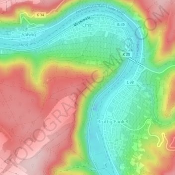
Name: Ernst topographic map, elevation, terrain.
Location: Ernst, Cochem, Landkreis Cochem-Zell, Rijnland-Palts, Duitsland (50.12240 7.19639 50.14621 7.23659)
Average elevation: 617 ft
Minimum elevation: 223 ft
Maximum elevation: 1,063 ft