Geolocate

Harley topographic map

Click on the map to display elevation.

About this map

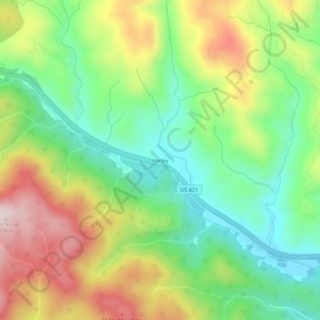
Name: Harley topographic map, elevation, terrain.

Location: Harley, Wilkes County, North Carolina, United States (36.17291 -81.43454 36.21291 -81.39454)

Average elevation: 1,864 ft

Minimum elevation: 1,316 ft

Maximum elevation: 2,657 ft

Wilkes County trails, hiking, mountain biking, running and outdoor activities

Gear up for your next adventure:

🪶Camping Sleeping Pad - Comfortable sleeping pad for backpacking
🚑Emergency Bivvies - Heat-reflective sleeping bags for survival situations
🍳Camping Cook Set - Complete cookware for outdoor meals
🦶Hiking Gaiters - Keep debris and water out of your boots
🔋Rechargeable Batteries - Power up your outdoor devices

As an Amazon Associate, this site earns from qualifying purchases at no extra cost to you.