
Rouissat topographic map
Interactive map
Click on the map to display elevation.
About this map
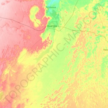
Name: Rouissat topographic map, elevation, terrain.
Location: Rouissat, Daïra Ouargla, Ouargla, 30038, Algérie (31.08043 4.24997 32.21393 5.38391)
Average elevation: 584 ft
Minimum elevation: 367 ft
Maximum elevation: 886 ft