
Sark topographic map
Interactive map
Click on the map to display elevation.
About this map
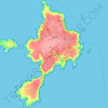
Name: Sark topographic map, elevation, terrain.
Location: Sark, Guernsey (49.40743 -2.38320 49.44927 -2.34204)
Average elevation: 59 ft
Minimum elevation: 0 ft
Maximum elevation: 348 ft