
Ağlan topographic map
Interactive map
Click on the map to display elevation.
About this map
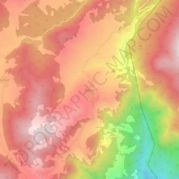
Name: Ağlan topographic map, elevation, terrain.
Location: Ağlan, Osmaneli, Bilecik, Marmara Region, Turkey (40.47147 29.94573 40.51147 29.98573)
Average elevation: 2,421 ft
Minimum elevation: 906 ft
Maximum elevation: 3,215 ft