
Dalborn topographic map
Interactive map
Click on the map to display elevation.
About this map
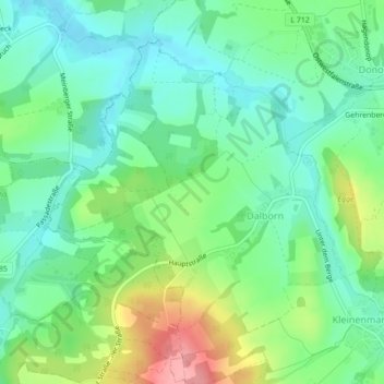
Name: Dalborn topographic map, elevation, terrain.
Location: Dalborn, Blomberg, Kreis Lippe, Nordrhein-Westfalen, Deutschland (51.96809 8.95763 51.99105 8.99142)
Average elevation: 509 ft
Minimum elevation: 387 ft
Maximum elevation: 771 ft