
新街镇 topographic map
Interactive map
Click on the map to display elevation.
About this map
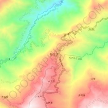
Name: 新街镇 topographic map, elevation, terrain.
Location: 新街镇, 元阳县, 红河哈尼族彝族自治州, Yunnan, Chine (23.11880 102.70461 23.19880 102.78461)
Average elevation: 4,259 ft
Minimum elevation: 1,906 ft
Maximum elevation: 6,696 ft
Other topographic maps
Click on a map to view its topography, its elevation and its terrain.