
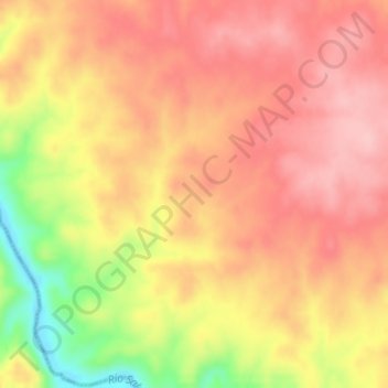
El Machado topographic map
Interactive map
Click on the map to display elevation.
About this map
Name: El Machado topographic map, elevation, terrain.
Average elevation: 837 ft
Minimum elevation: 509 ft
Maximum elevation: 1,004 ft
Other topographic maps
Click on a map to view its topography, its elevation and its terrain.
Alcántara
Espanha > Estremadura > Alcántara
Alcántara, Cáceres, Estremadura, 10980, Espanha
Average elevation: 787 ft