
Make a donation
Gear up for your next adventure:
As an Amazon Associate, this site earns from qualifying purchases at no extra cost to you.
Saginaw topographic map
Click on the map to display elevation.
Make a donation
Gear up for your next adventure:
As an Amazon Associate, this site earns from qualifying purchases at no extra cost to you.
About this map
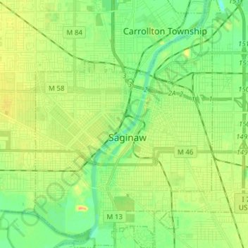
Name: Saginaw topographic map, elevation, terrain.
Location: Saginaw, Saginaw County, Michigan, United States (43.37988 -83.99576 43.46980 -83.90229)
Average elevation: 607 ft
Minimum elevation: 558 ft
Maximum elevation: 669 ft
Saginaw County trails, hiking, mountain biking, running and outdoor activities
Make a donation
Gear up for your next adventure:
As an Amazon Associate, this site earns from qualifying purchases at no extra cost to you.
Other topographic maps
Click on a map to view its topography, its elevation and its terrain.
Shattuckville
United States > Michigan > Saginaw County > Saginaw Charter Township
Average elevation: 614 ft
Shattuckville
United States > Michigan > Saginaw County > Saginaw Charter Township
Average elevation: 614 ft