
Guelaat Bou Sbaa topographic map
Interactive map
Click on the map to display elevation.
About this map
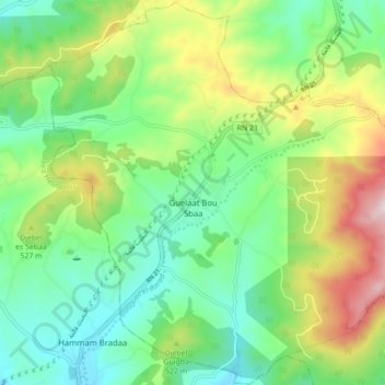
Name: Guelaat Bou Sbaa topographic map, elevation, terrain.
Location: Guelaat Bou Sbaa, Daïra Guelaat Bou Sbaa, Guelma, Algérie (36.51438 7.44131 36.58404 7.52867)
Average elevation: 1,480 ft
Minimum elevation: 866 ft
Maximum elevation: 2,720 ft