
Le Rœulx topographic map
Interactive map
Click on the map to display elevation.
About this map
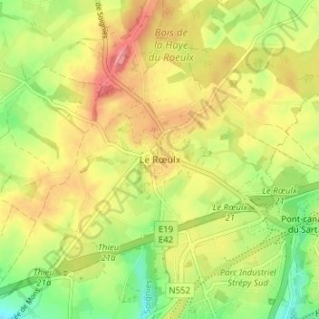
Name: Le Rœulx topographic map, elevation, terrain.
Location: Le Rœulx, Soignies, Hainaut, Wallonie, 7070, Belgique (50.34201 3.95063 50.66201 4.27063)
Average elevation: 344 ft
Minimum elevation: 66 ft
Maximum elevation: 732 ft