
Sungai Ayer Hitam topographic map
Interactive map
Click on the map to display elevation.
About this map
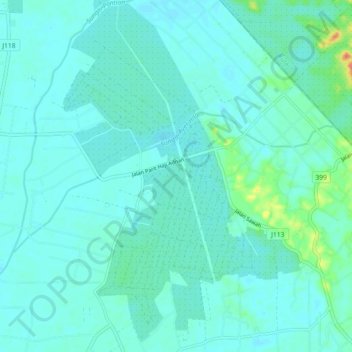
Name: Sungai Ayer Hitam topographic map, elevation, terrain.
Average elevation: 30 ft
Minimum elevation: 3 ft
Maximum elevation: 180 ft
Other topographic maps
Click on a map to view its topography, its elevation and its terrain.
Kampung Jawa
Kampung Jawa, Pontian, Johor, 82100, Malaysia
Average elevation: 13 ft
Kayu Ara Pasong
Malaysia > Johor > Pontian > Kayu Ara Pasong
Kayu Ara Pasong, Pontian, Johor, 82000, Malaysia
Average elevation: 20 ft
Kampung Pulai Sebatang
Kampung Pulai Sebatang, Pontian, Johor, 82100, Malaysia
Average elevation: 13 ft