
Oatlands topographic map
Interactive map
Click on the map to display elevation.
About this map
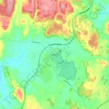
Name: Oatlands topographic map, elevation, terrain.
Location: Oatlands, Tasmania, Australia (-42.34187 147.33287 -42.26187 147.41287)
Average elevation: 1,447 ft
Minimum elevation: 1,184 ft
Maximum elevation: 1,916 ft
Other topographic maps
Click on a map to view its topography, its elevation and its terrain.