
Nelson topographic map
Interactive map
Click on the map to display elevation.
About this map
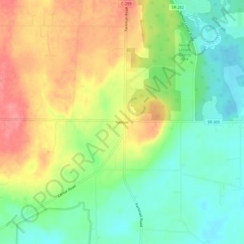
Name: Nelson topographic map, elevation, terrain.
Location: Nelson, Nelson Township, Portage County, Ohio, 44231, USA (41.29006 -81.07148 41.33006 -81.03148)
Average elevation: 1,024 ft
Minimum elevation: 906 ft
Maximum elevation: 1,171 ft