
Parque Natural do Sudoeste Alentejano e Costa Vicentina topographic map
Interactive map
Click on the map to display elevation.
About this map
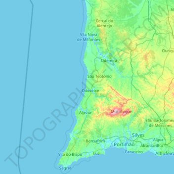
Name: Parque Natural do Sudoeste Alentejano e Costa Vicentina topographic map, elevation, terrain.
Average elevation: 220 ft
Minimum elevation: -10 ft
Maximum elevation: 2,933 ft