
Mamá Tingó topographic map
Interactive map
Click on the map to display elevation.
About this map
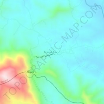
Name: Mamá Tingó topographic map, elevation, terrain.
Location: Mamá Tingó, Yamasá, Monte Plata, República Dominicana (18.67590 -70.08564 18.71590 -70.04564)
Average elevation: 591 ft
Minimum elevation: 259 ft
Maximum elevation: 1,834 ft