
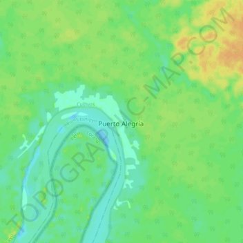
Puerto Alegría topographic map
Interactive map
Click on the map to display elevation.
About this map
Name: Puerto Alegría topographic map, elevation, terrain.
Location: Puerto Alegría, Amazonas, Colombia (-1.04426 -74.05343 -0.96426 -73.97343)
Average elevation: 505 ft
Minimum elevation: 469 ft
Maximum elevation: 551 ft