
Banteer topographic map
Interactive map
Click on the map to display elevation.
About this map
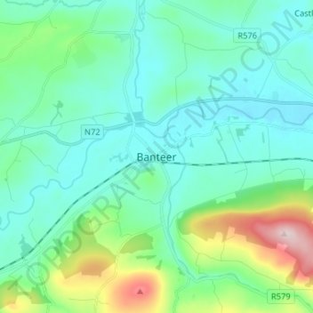
Name: Banteer topographic map, elevation, terrain.
Location: Banteer, County Cork, Munster, P51 F762, Ireland (52.08976 -8.93378 52.16976 -8.85378)
Average elevation: 413 ft
Minimum elevation: 197 ft
Maximum elevation: 1,276 ft