
Tennant topographic map
Interactive map
Click on the map to display elevation.
About this map
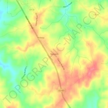
Name: Tennant topographic map, elevation, terrain.
Location: Tennant, Randolph County, Alabama, États-Unis d'Amérique (33.24817 -85.47690 33.28817 -85.43690)
Average elevation: 994 ft
Minimum elevation: 860 ft
Maximum elevation: 1,109 ft