
Javier de Viana topographic map
Interactive map
Click on the map to display elevation.
About this map
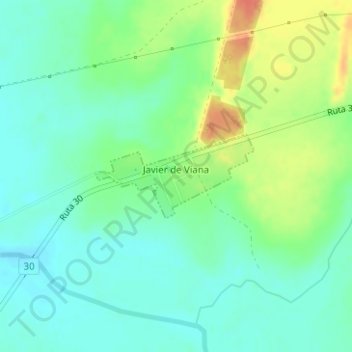
Name: Javier de Viana topographic map, elevation, terrain.
Location: Javier de Viana, Artigas, 55005, Uruguay (-30.43635 -56.79296 -30.42989 -56.77882)
Average elevation: 348 ft
Minimum elevation: 295 ft
Maximum elevation: 443 ft