
Taaienberg topographic map
Interactive map
Click on the map to display elevation.
About this map
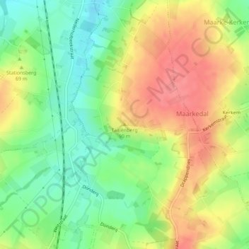
Name: Taaienberg topographic map, elevation, terrain.
Location: Taaienberg, Maarkedal, Oudenaarde, Oost-Vlaanderen, 9680, België (50.79607 3.63110 50.79617 3.63120)
Average elevation: 197 ft
Minimum elevation: 75 ft
Maximum elevation: 325 ft