
Río El Pimiento topographic map
Interactive map
Click on the map to display elevation.
About this map
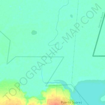
Name: Río El Pimiento topographic map, elevation, terrain.
Average elevation: 285 ft
Minimum elevation: 262 ft
Maximum elevation: 384 ft
Other topographic maps
Click on a map to view its topography, its elevation and its terrain.
Isla del Sauce
Bolivia > SCZ > Municipio Puerto Suarez
Isla del Sauce, Municipio Puerto Suarez, Provincia German Busch, SCZ, Bolivia
Average elevation: 262 ft