
San Nicolas topographic map
Interactive map
Click on the map to display elevation.
About this map
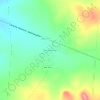
Name: San Nicolas topographic map, elevation, terrain.
Location: San Nicolas, Villa González Ortega, Zacatecas, México (22.54732 -102.02617 22.58732 -101.98617)
Average elevation: 6,942 ft
Minimum elevation: 6,808 ft
Maximum elevation: 7,178 ft