
桂溪镇 topographic map
Interactive map
Click on the map to display elevation.
About this map
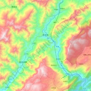
Name: 桂溪镇 topographic map, elevation, terrain.
Location: 桂溪镇, 北川羌族自治县, Mianyang, Sichuan, China (31.87198 104.58040 32.05214 104.72185)
Average elevation: 4,117 ft
Minimum elevation: 1,860 ft
Maximum elevation: 6,995 ft
Other topographic maps
Click on a map to view its topography, its elevation and its terrain.