
Río Bravo topographic map
Interactive map
Click on the map to display elevation.
About this map
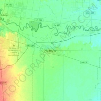
Name: Río Bravo topographic map, elevation, terrain.
Location: Río Bravo, Municipio de Río Bravo, Tamaulipas, 88900, México (25.82700 -98.25761 26.14700 -97.93761)
Average elevation: 102 ft
Minimum elevation: 59 ft
Maximum elevation: 226 ft