
Wagshurst topographic map
Interactive map
Click on the map to display elevation.
About this map
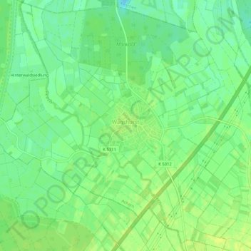
Name: Wagshurst topographic map, elevation, terrain.
Average elevation: 446 ft
Minimum elevation: 417 ft
Maximum elevation: 469 ft
Other topographic maps
Click on a map to view its topography, its elevation and its terrain.
Mösbach
Deutschland > Baden-Württemberg > Ortenaukreis > Achern
Mösbach, Achern, Verwaltungsgemeinschaft Achern, Ortenaukreis, Baden-Württemberg, Deutschland
Average elevation: 571 ft
Achern
Deutschland > Baden-Württemberg > Ortenaukreis > Achern
Achern, Verwaltungsgemeinschaft Achern, Ortenaukreis, Baden-Württemberg, 77855, Deutschland
Average elevation: 499 ft